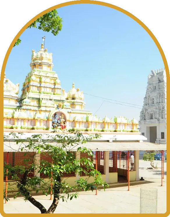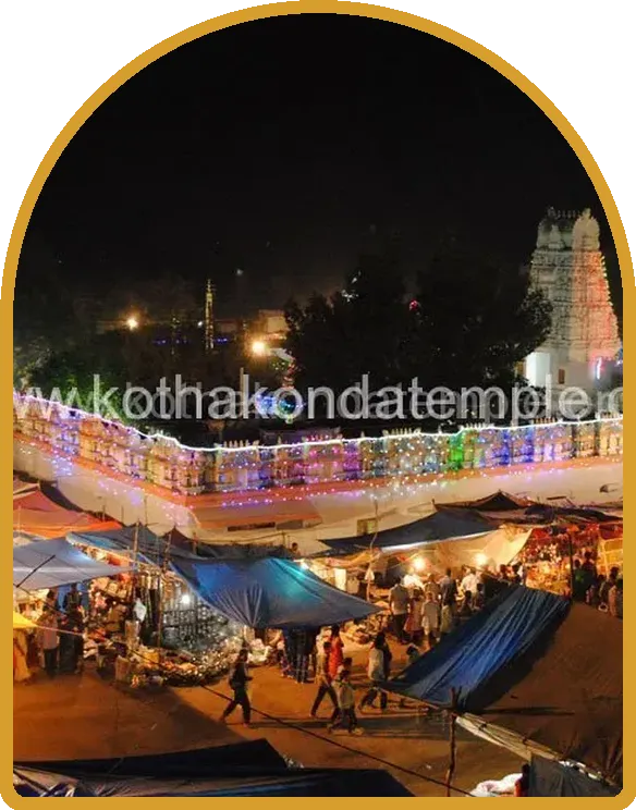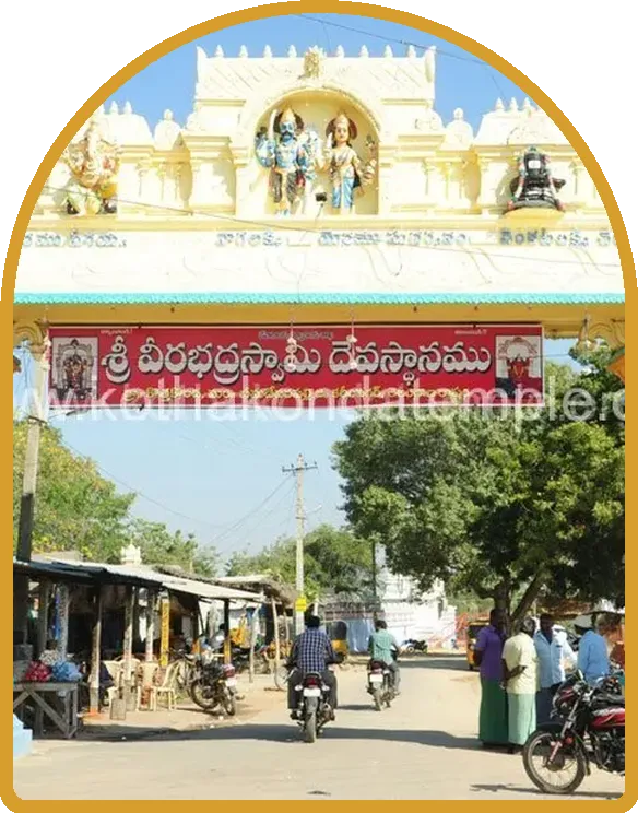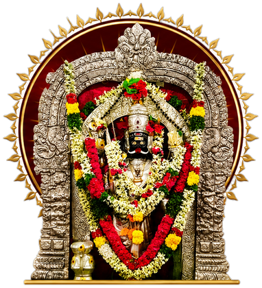
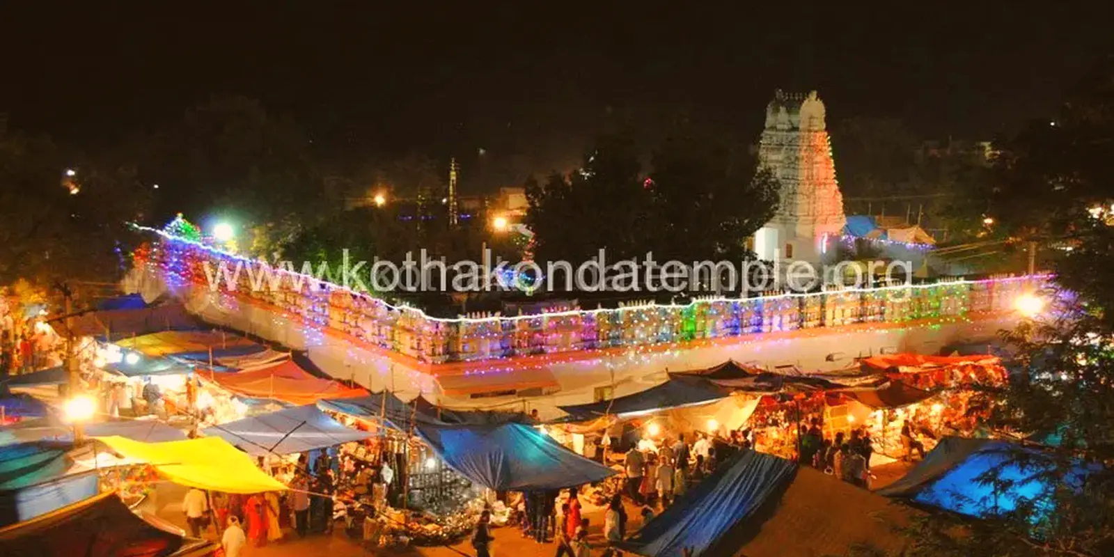
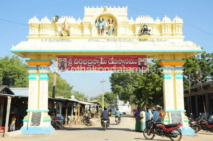
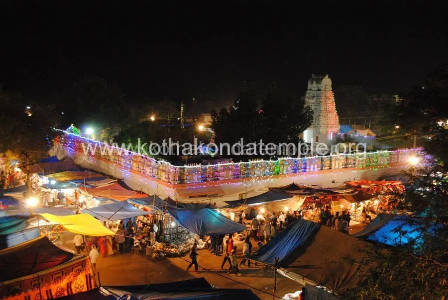
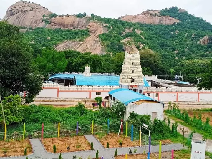
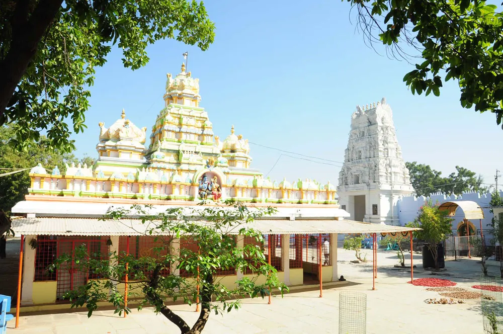
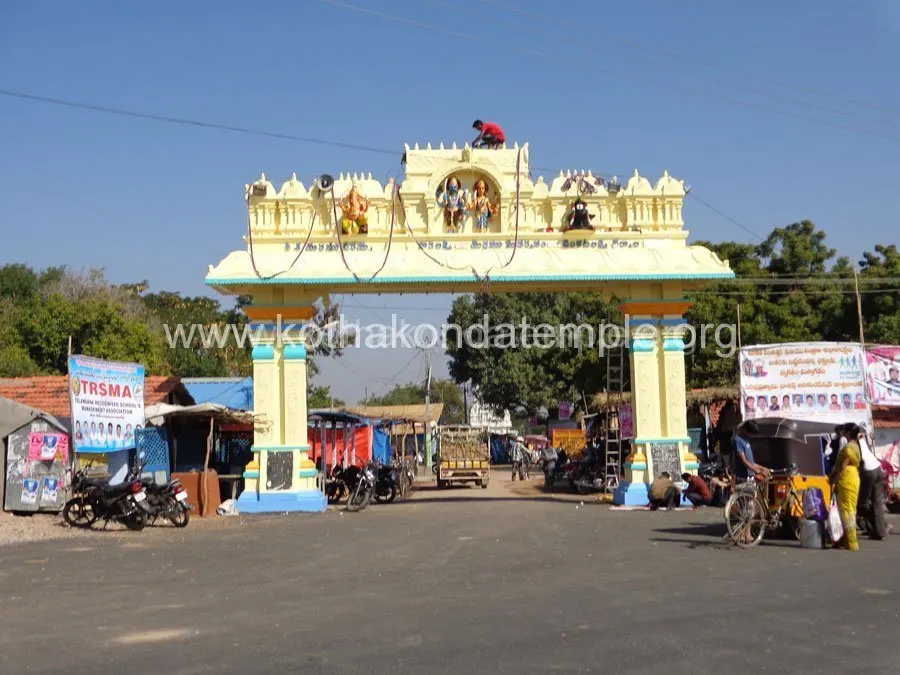
Photographs of the Sri Veerabhadra Swamy temple, its entrance arch, gopuram, hills and the Jatara festival. Click any photo to enlarge it, and use the arrow keys to browse.
Home › Photo Gallery
Gallery


Distance to Kothakonda Temple
| Hanamkonda | ≈ 26 km | Live directions |
| Warangal | ≈ 30 km | Live directions |
| Kazipet Junction (nearest railway station) | ≈ 21 km | Live directions |
| Huzurabad | ≈ 20 km | Live directions |
| Jammikunta | ≈ 32 km | Live directions |
| Husnabad | ≈ 31 km | Live directions |
| Karimnagar | ≈ 49 km | Live directions |
| Hyderabad | ≈ 114 km | Live directions |
Straight-line (aerial) distances calculated from map coordinates; road distance is longer. Tap “Live directions” for the exact driving distance and time on Google Maps.
Frequently Asked Questions
Can I use these temple photos?
Please contact the temple for permission and credit the temple when sharing.
Where can I see more photos?
On our Facebook page and YouTube channel linked in the side bar and footer.
Can I send my photos to the temple?
Yes, share them on WhatsApp or through the Contact page.
Where is Kothakonda Veerabhadra Swamy temple?
The temple is in Kothakonda village, Bheemadevarpalle mandal, Karimnagar district, Telangana, south-east of Karimnagar and about 5 km from Mulkanoor.
What are the temple timings?
Pujas begin at 4.30 AM. Darshan is available through the morning and from 3 PM to 8 PM; the temple is closed (Dwara Bandhanam) from 1 to 3 PM and from 8 PM to 4.30 AM.
Pathway of Devotion
ఓం వీరభద్రాయ నమః
Om Sri Veerabhadraya Namaha